David Rumsey
ArcGIS, QGIS or web apps can simply use this map with web map services. WMTS, TileJSON or XYZ tiles are provided for quick access to processed maps.
Sign in to get links.
Sign in to download GeoTIFF.
Overlay & compare
iiif viewer, iiif info json
Website
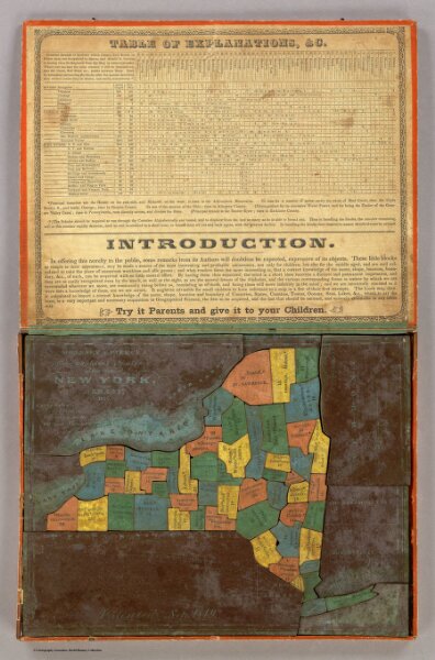
Geographical Analysis of the State of New York
4086.001
pilot4
McCleary & Pierce's Geographical Analysis of the State of New York, Albany 1850. Patented Sep. 1849.
1850
Pierce, John
McCleary & Pierce.
27 × 21 cm
1 : 2800000