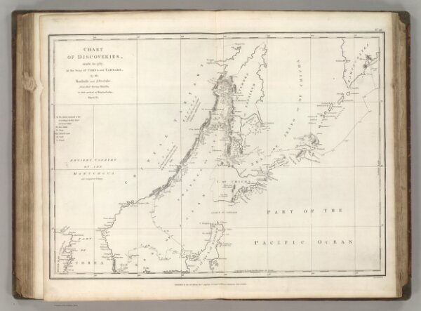
Chart of Discoveries, Made in 1787, in the Seas of China and Tartary, Sheet II.
ArcGIS, QGIS or web apps can simply
use this map with web map services.
WMTS, TileJSON or XYZ tiles
are provided for quick access to processed maps.
Sign in to get links.