David Rumsey
ArcGIS, QGIS or web apps can simply use this map with web map services. WMTS, TileJSON or XYZ tiles are provided for quick access to processed maps.
Sign in to get links.
Sign in to download GeoTIFF.
Overlay & compare
iiif viewer, iiif info json
Website
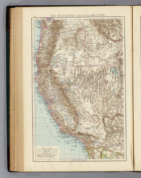
Pacifischen Staaten der Union.
1494.066
pilot4
Die Pacifischen Staaten der Union. (Richard Andree. Herausgegeben von der Geographischen Anstalt von Velhagen & Klasing in Leipzig. 1881)
1881
Andree, Richard
Velhagen & Klasing
24 × 37 cm
1 : 5000000