David Rumsey
ArcGIS, QGIS or web apps can simply use this map with web map services. WMTS, TileJSON or XYZ tiles are provided for quick access to processed maps.
Sign in to get links.
Sign in to download GeoTIFF.
Overlay & compare
iiif viewer, iiif info json
Website
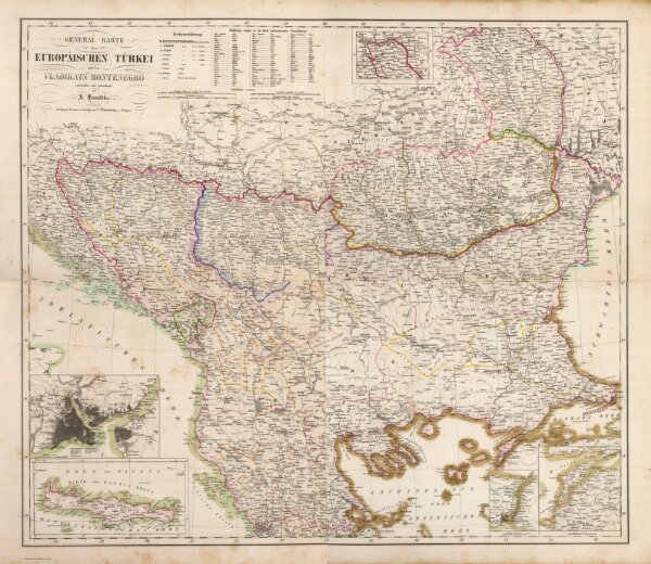
Composite: Europaischen Turkei.
4765.129
pilot4
(Composite of) General-Karte der Europaischen Turkei und des Vladikats Montenegro entworfen und gezeichnet von F. Handtke. Lithogr., Druck u. Verlag von C. Flemming in Glogau. (1855)
1855
Handtke, Friedrich H.
C. Flemming
73 × 64 cm
1 : 1580000