David Rumsey
ArcGIS, QGIS or web apps can simply use this map with web map services. WMTS, TileJSON or XYZ tiles are provided for quick access to processed maps.
Sign in to get links.
Sign in to download GeoTIFF.
Overlay & compare
iiif viewer, iiif info json
Website
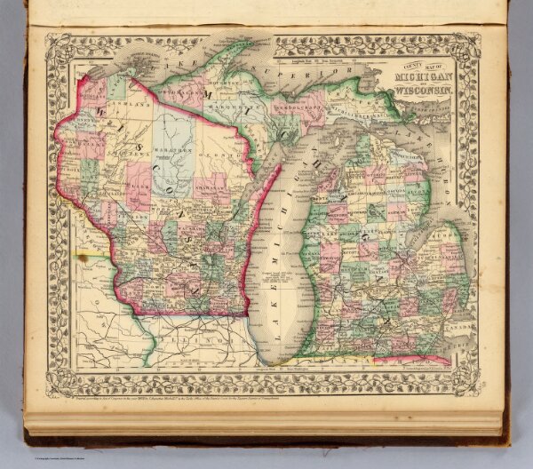
Michigan, Wisconsin.
2483.034
pilot4
County map of Michigan and Wisconsin. Drawn & engraved by W.H. Gamble, Phila. Entered ... 1870 by S. Augustus Mitchell, Jr. ... Pennsylvania.
1870
Mitchell, Samuel Augustus
S.A. Mitchell, Jr.
36 × 31 cm
1 : 2450000