David Rumsey
ArcGIS, QGIS or web apps can simply use this map with web map services. WMTS, TileJSON or XYZ tiles are provided for quick access to processed maps.
Sign in to get links.
Sign in to download GeoTIFF.
Overlay & compare
iiif viewer, iiif info json
Website
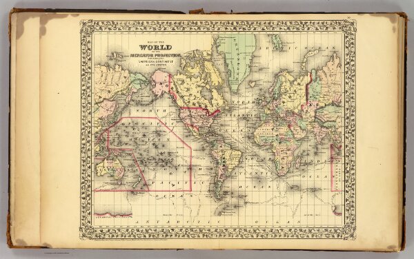
World.
1199.002
pilot4
Map of the World on the Mercator projection, exhibiting the American continent as its centre. Entered according to Act of Congress in the year 1872 by S. Augustus Mitchell in the Office of the Librarian of Congress at Washington. (1873)
1873
Mitchell, Samuel Augustus
M.W. White
46 × 37 cm
1 : 95000000