David Rumsey
ArcGIS, QGIS or web apps can simply use this map with web map services. WMTS, TileJSON or XYZ tiles are provided for quick access to processed maps.
Sign in to get links.
Sign in to download GeoTIFF.
Overlay & compare
iiif viewer, iiif info json
Website
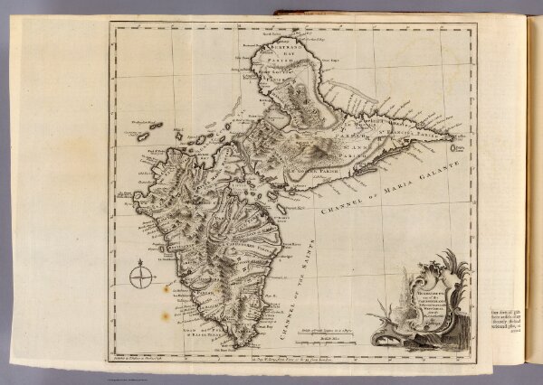
Guadaloupe.
4796.012
pilot4
Guadaloupe, one of the Caribbee islands subject to France in the West Indies, from the best authorities by T. Jefferys. Published by T. Jefferys at Charing Cross. (1760)
1760
Jefferys, Thomas
Thomas Jefferys
38 × 35 cm
1 : 265000