David Rumsey
ArcGIS, QGIS or web apps can simply use this map with web map services. WMTS, TileJSON or XYZ tiles are provided for quick access to processed maps.
Sign in to get links.
Sign in to download GeoTIFF.
Overlay & compare
iiif viewer, iiif info json
Website
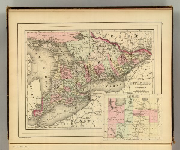
Ontario.
5784.007
pilot4
Map of Ontario in counties. (with) Manitoba, Dominion of Canada. Copyright 1886 by Wm. M. Bradley & Bro.
1886
Mitchell, Samuel Augustus
Wm. M. Bradley & Bro.
35 × 28 cm
1 : 2500000