David Rumsey
ArcGIS, QGIS or web apps can simply use this map with web map services. WMTS, TileJSON or XYZ tiles are provided for quick access to processed maps.
Sign in to get links.
Sign in to download GeoTIFF.
Overlay & compare
iiif viewer, iiif info json
Website
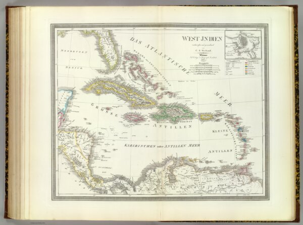
West Indien.
2077.064
pilot4
West Indien, entworfen und gezeichnet von C.F. Weiland. (with) Plan des Hafens u. der Stadt Havana. Weimar, im Verlage des Geograph. Instituts, 1855.
1855
1856
Weiland, C. F. (Carl Ferdinand), d. 1847
Weimar Geo Inst.
60 × 48 cm
1 : 5250000