David Rumsey
ArcGIS, QGIS or web apps can simply use this map with web map services. WMTS, TileJSON or XYZ tiles are provided for quick access to processed maps.
Sign in to get links.
Sign in to download GeoTIFF.
Overlay & compare
iiif viewer, iiif info json
Website
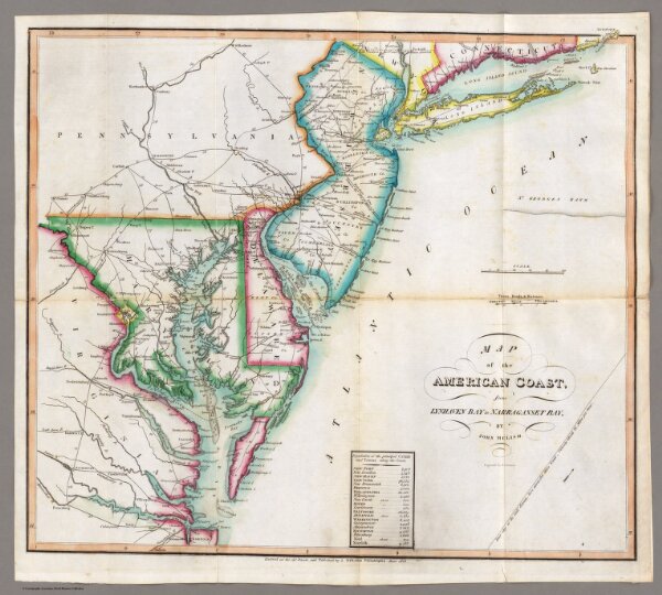
Map of the American Coast, from Lynhaven Bay to Narraganset Bay.
2788.006
pilot4
Map of the American Coast, from Lynhaven Bay to Narraganset Bay, by John Melish.
1815
Melish, John
John Melish
46 × 41 cm
1 : 1267200