David Rumsey
ArcGIS, QGIS or web apps can simply use this map with web map services. WMTS, TileJSON or XYZ tiles are provided for quick access to processed maps.
Sign in to get links.
Sign in to download GeoTIFF.
Overlay & compare
iiif viewer, iiif info json
Website
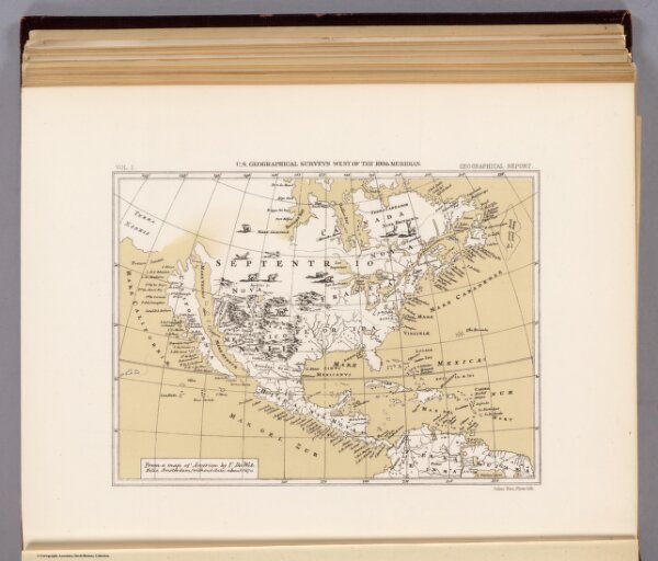
America, about 1670.
2220.038
pilot4
From a map of America by F. De Wit. Folio, Amsterdam, without date, about 1670. Julius Bien, Photo-lith. U.S. Geographical Surveys West of the 100th Meridian. (1889)
1889
1875
Wit, Frederik de
U.S.
21 × 16 cm
1 : 65000000