David Rumsey
ArcGIS, QGIS or web apps can simply use this map with web map services. WMTS, TileJSON or XYZ tiles are provided for quick access to processed maps.
Sign in to get links.
Sign in to download GeoTIFF.
Overlay & compare
iiif viewer, iiif info json
Website
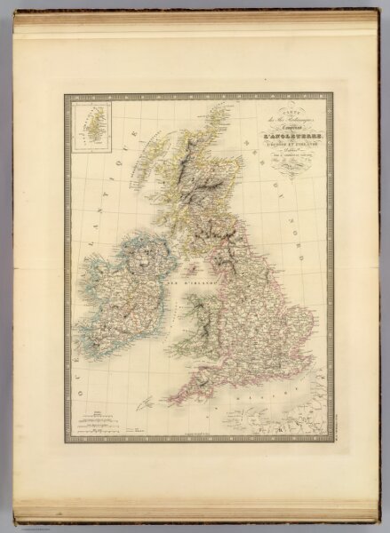
Iles Britanniques.
2486.018
pilot4
Carte des Iles Britanniques, comprenant l'Angleterre, l'Ecosse et l'Irlande. Publiee par J. Andriveau-Goujon, Rue du Bac, no. 17, Paris, 1845.
1845
1850
Andriveau-Goujon, J.
J. Andriveau-Goujon
39 × 50 cm
1 : 2500000