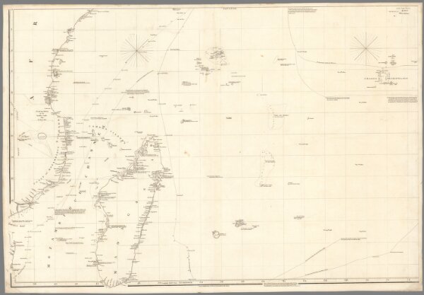
Chart of the Indian Ocean, drawn from a variety of charts, plans, journals etc., both M. S. S. and printed by A. Arronsmith. 1802. Additions to ... 1812. London. Published May 24th., 1802, by A. Arrowsmith, 10 Soho Square. (inset) Chart of the N. W. part of New Holland.