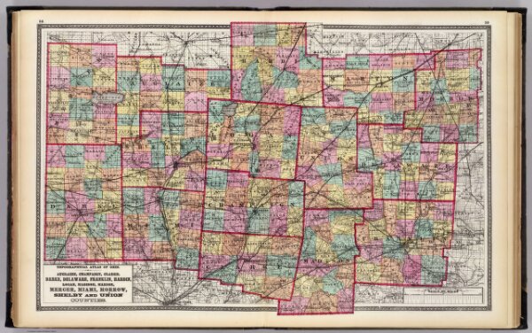
Auglaize, Champaign, Clarke, Darke, Delaware, Franklin, Hardin, Logan, Madison, Marion, Mercer, Miami, Morrow, Shelby and Union counties.
ArcGIS, QGIS or web apps can simply
use this map with web map services.
WMTS, TileJSON or XYZ tiles
are provided for quick access to processed maps.
Sign in to get links.