David Rumsey
ArcGIS, QGIS or web apps can simply use this map with web map services. WMTS, TileJSON or XYZ tiles are provided for quick access to processed maps.
Sign in to get links.
Sign in to download GeoTIFF.
Overlay & compare
iiif viewer, iiif info json
Website
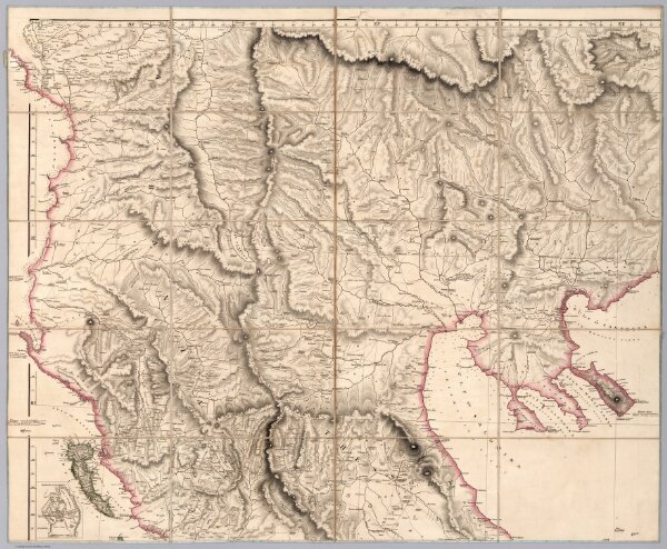
Sheet 3: Outlines of Greece
6707.004
pilot2
(Sheet 3) Outlines of Greece, And Adjacent Countries, With Modern and Antient Names, By A. Arrowsmith. London, Published 2nd March, 1819, by A. Arrowsmith, 10 Soho Square, Hydrographer to His Majesty.
1819
Arrowsmith, Aaron
A. Arrowsmith
100 × 80 cm
1 : 440000