David Rumsey
ArcGIS, QGIS or web apps can simply use this map with web map services. WMTS, TileJSON or XYZ tiles are provided for quick access to processed maps.
Sign in to get links.
Sign in to download GeoTIFF.
Overlay & compare
iiif viewer, iiif info json
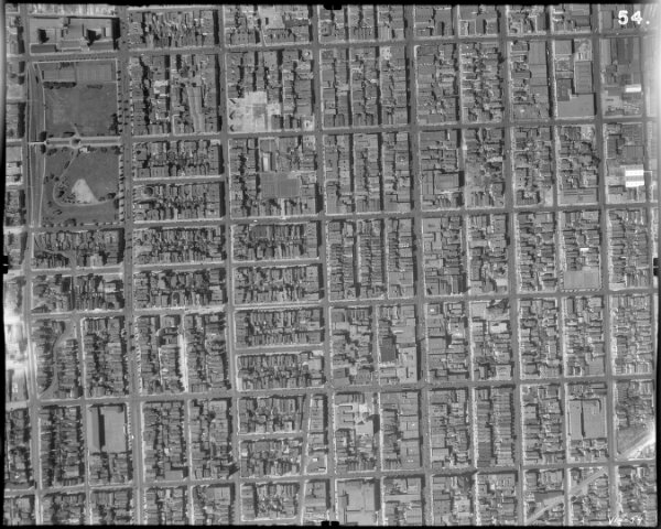
54. San Francisco Aerial Negative.
10264.054
missinglocation
54. Aerial Negative. City and County of San Francisco. August 27, 1938. Scale: 1" = 500 Feet. (Aerial Photographs).
1938
Ryker, Harrison
Harrison Ryker
23 × 23 cm
1 : 6000