David Rumsey
ArcGIS, QGIS or web apps can simply use this map with web map services. WMTS, TileJSON or XYZ tiles are provided for quick access to processed maps.
Sign in to get links.
Sign in to download GeoTIFF.
Overlay & compare
iiif viewer, iiif info json
Website
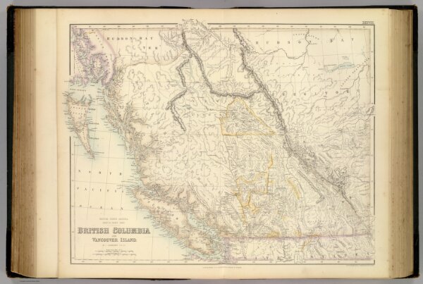
British North America. Sheet III. Pacific Coast.
3007.039
pilot4
British North America. Sheet III. Pacific Coast. British Columbia and Vancouver Island. By J. Bartholomew, F.R.G.S. XXXVIII. Drawn & Engraved by J. Bartholomew F.R.G.S. Edinr. A. Fullarton & Co. Edinburgh, London & Dublin.
1872
Fullarton, A. & Co.
A. Fullarton & Co.
55 × 45 cm
1 : 2407680