David Rumsey
ArcGIS, QGIS or web apps can simply use this map with web map services. WMTS, TileJSON or XYZ tiles are provided for quick access to processed maps.
Sign in to get links.
Sign in to download GeoTIFF.
Overlay & compare
iiif viewer, iiif info json
Website
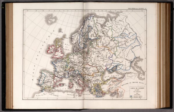
31. Carte de L'Europe en 1453.
4759.032
pilot2
1855
1856
Dussieux, L.
Jacques Lecoffre et Comp.
40 × 30 cm
1 : 15300000