David Rumsey
ArcGIS, QGIS or web apps can simply use this map with web map services. WMTS, TileJSON or XYZ tiles are provided for quick access to processed maps.
Sign in to get links.
Sign in to download GeoTIFF.
Overlay & compare
iiif viewer, iiif info json
Website
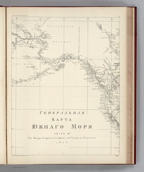
Facsimile: Russian Admiralty's Chart Northeast Pacific.
0009.054
pilot4
(Facsimile) Russian Admiralty's Chart Northeast Pacific (portion). Alaska Boundary Tribunal, 1903. 11. Photo. Lith. by A. Hoen & Co. Baltimore, MD. 1266.
1826
1904
Russian Admiralty
Government Printing Office
34 × 44 cm
1 : 13250000