David Rumsey
ArcGIS, QGIS or web apps can simply use this map with web map services. WMTS, TileJSON or XYZ tiles are provided for quick access to processed maps.
Sign in to get links.
Sign in to download GeoTIFF.
Overlay & compare
iiif viewer, iiif info json
Website
United States.
2175.048
pilot4
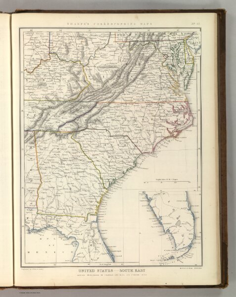
Sharpe's Corresponding Maps. United States - South East. London - Published by Chapman and Hall, 186 Strand, 1848. Divisional Series.
1848
1849
Sharpe, J.
Chapman & Hall
32 × 45 cm
1 : 3380000