David Rumsey
ArcGIS, QGIS or web apps can simply use this map with web map services. WMTS, TileJSON or XYZ tiles are provided for quick access to processed maps.
Sign in to get links.
Sign in to download GeoTIFF.
Overlay & compare
iiif viewer, iiif info json
Website
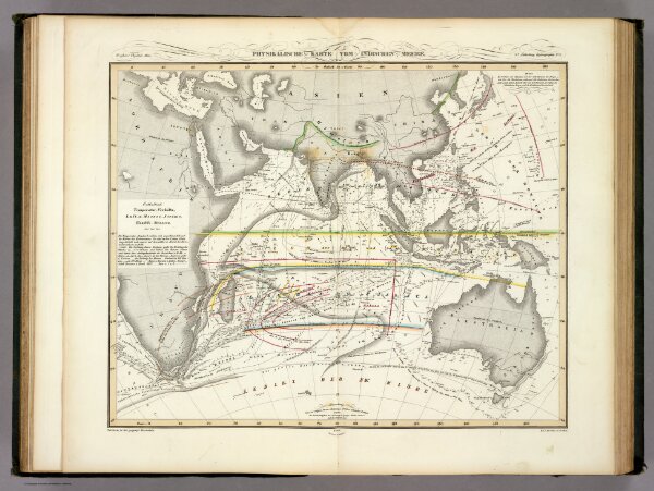
Physikalische Karte vom Indischen Meere.
2515.016
pilot4
Physikalische Karte vom Indischen Meere. 2te Abtheilung: Hydrographie, No. 5. Potsdam, in der geograph. Kunstschule. Bei J. Perthes in Gotha. 1840. Gestochen bei Madel II.
1840
1849
Berghaus, Heinrich
Justus Perthes
38 × 33 cm
1 : 44000000