David Rumsey
ArcGIS, QGIS or web apps can simply use this map with web map services. WMTS, TileJSON or XYZ tiles are provided for quick access to processed maps.
Sign in to get links.
Sign in to download GeoTIFF.
Overlay & compare
iiif viewer, iiif info json
Website
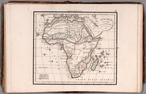
Afrique Divisee en ses principaux Etats ... 1824.
0231.021
pilot
1824
1826
Delamarche, Felix
F. Delamarche
32 × 29 cm
1 : 36000000