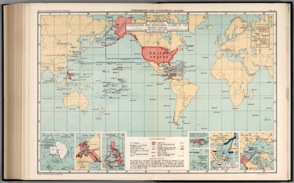
Plate 166. Possessions and Territorial Claims, 1815 - 1912.
Identifier
0702.169
Collection
pilot
Description
Plate 166. Possessions and Territorial Claims. The World Showing Possessions and Territorial Claims of the United States, Also Certain Military Operations and Grounds Formerly Frequented (ca. 1815 - 1860) by American Whalers. The Antarctic. Canal Zone. Philippine Is. Porto (Puerto) Rico and Virgin Islands. American Samoa. The North Atlantic Fisheries Controversy, 1818 - 1912. The Arctic.