David Rumsey
ArcGIS, QGIS or web apps can simply use this map with web map services. WMTS, TileJSON or XYZ tiles are provided for quick access to processed maps.
Sign in to get links.
Sign in to download GeoTIFF.
Overlay & compare
iiif viewer, iiif info json
Website
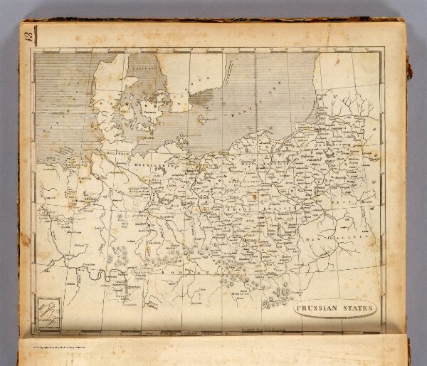
Prussian States.
2436.013
pilot4
Prussian States. From the map published at Berlin 1800. (Published by John Conrad & Co., Philadelphia. 1804)
1804
Arrowsmith, Aaron; Lewis, Samuel
J. Conrad
25 × 20 cm
1 : 5200000