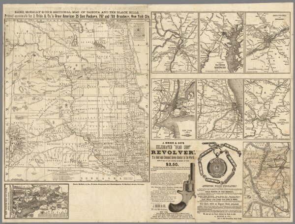
Rand McNally & Co.'s sectional map of the Dakota and the Black Hills
Identifier
6878.001
Collection
pilot2
Description
Rand McNally & Co.'s sectional map of the Dakota and the Black Hills. Printed expressly for J. Bride & Co.'s Great American 25 Cent package, 767 and 769 Broadway, New York City. A.W. Barber, Del. Rand McNally & Co. Printers, engravers and electrotypers, 79 Madison Street, Chicago. (with 8 insets). (on verso) Rand McNally & Co.'s new railway guide map.