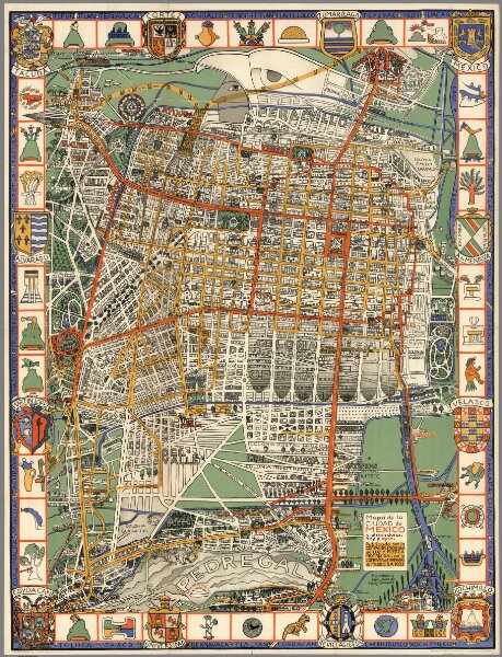
Pictorial map of the city of Mexico and surroundings yesterday and today.
Identifier
8979.002
Collection
pilot2
Description
Pictorial map of the city of Mexico and surroundings yesterday and today. Published by the Mexican Light & Power Co. Ltd. and the Mexico Tramways Company. 1932.