David Rumsey
ArcGIS, QGIS or web apps can simply use this map with web map services. WMTS, TileJSON or XYZ tiles are provided for quick access to processed maps.
Sign in to get links.
Sign in to download GeoTIFF.
Overlay & compare
iiif viewer, iiif info json
Website
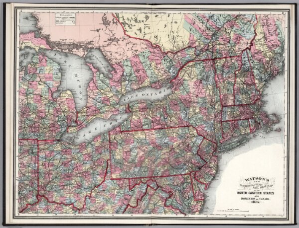
North-Eastern States and Dominion of Canada.
2841.018
missinglocation
Watson's New Commercial, County, and Rail Road Map of the North-Eastern States and Dominion of Canada. 1875.
1875
Watson, Gaylord
Perry & Spaulding
72 × 55 cm
1 : 2000000