David Rumsey
ArcGIS, QGIS or web apps can simply use this map with web map services. WMTS, TileJSON or XYZ tiles are provided for quick access to processed maps.
Sign in to get links.
Sign in to download GeoTIFF.
Overlay & compare
iiif viewer, iiif info json
Website
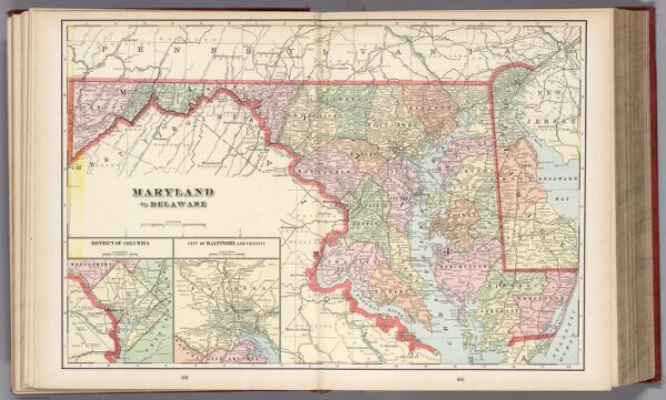
Maryland and Delaware
1910.027
default
Maryland and Delaware. (to accompany) Cram's atlas of the world, ancient and modern : new census edition -- indexed. (insets) District of Columbia. (with) City of Baltimore and vicinity.
1901
Murray-Aaron, Eugene, 1852-1941.
G.F. Cram
52 × 34 cm
1 : 800000