David Rumsey
ArcGIS, QGIS or web apps can simply use this map with web map services. WMTS, TileJSON or XYZ tiles are provided for quick access to processed maps.
Sign in to get links.
Sign in to download GeoTIFF.
Overlay & compare
iiif viewer, iiif info json
Website
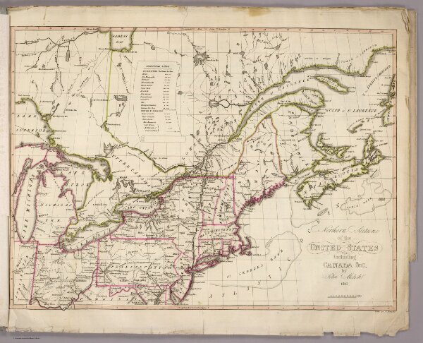
N. section U.S.
5757.001
pilot4
Northern section of the United States including Canada &c. by John Melish. 1816. Grav. af C.F. Himberg. (Stockholm: Stente af C. Muller, 1824)
1816
1824
Melish, John
C. Muller
53 × 39 cm
1 : 4200000