David Rumsey
ArcGIS, QGIS or web apps can simply use this map with web map services. WMTS, TileJSON or XYZ tiles are provided for quick access to processed maps.
Sign in to get links.
Sign in to download GeoTIFF.
Overlay & compare
iiif viewer, iiif info json
Website
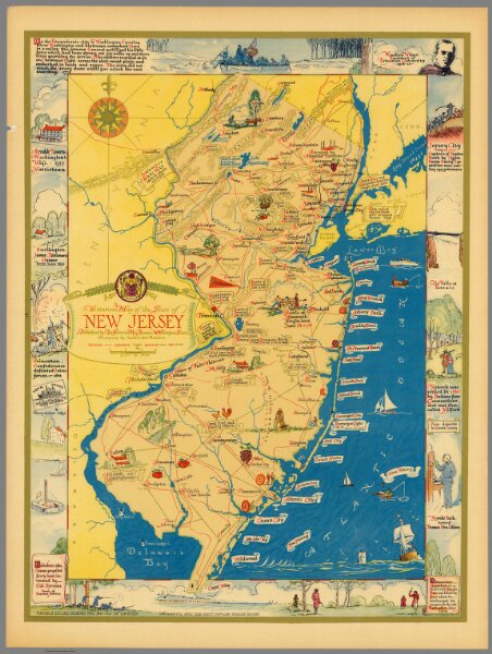
Historical map of the state of New Jersey
11378.000
missinglocation
Historical map of the state of New Jersey. Published by the Historical Map Bureau, W. Willington, Conn. Designed by Leon L. Des Rosiers.
1939
Des Rosiers, Leon L.
Historical Map Bureau
42 × 56 cm
1 : 550000