David Rumsey
ArcGIS, QGIS or web apps can simply use this map with web map services. WMTS, TileJSON or XYZ tiles are provided for quick access to processed maps.
Sign in to get links.
Sign in to download GeoTIFF.
Overlay & compare
iiif viewer, iiif info json
Website
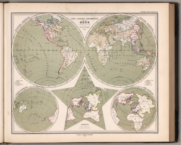
Land_und-Wasser _ Vertheilung auf der Erde (Land and Water Distribution).
2761.016
missinglocation
Stieler's Hand-Atlas No. 9. Land_und-Wasser _ Vertheilung auf der Erde in Globular Projection.
1880
1881
Berghaus, Hermann
Justus Perthus
42 × 36 cm
1 : 100000000