David Rumsey
ArcGIS, QGIS or web apps can simply use this map with web map services. WMTS, TileJSON or XYZ tiles are provided for quick access to processed maps.
Sign in to get links.
Sign in to download GeoTIFF.
Overlay & compare
iiif viewer, iiif info json
Website
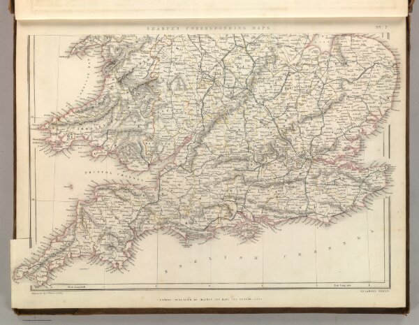
England and Wales Railway Map (southern half).
2175.007
pilot4
Sharpe's Corresponding Maps. England and Wales Railway Map (southern half). Engraved by J. Wilson Lowry. London - Published by Chapman and Hall, 186 Strand, 1847. Enlarged Series.
1847
1849
Sharpe, J.
Chapman & Hall
47 × 34 cm
1 : 1110000