David Rumsey
ArcGIS, QGIS or web apps can simply use this map with web map services. WMTS, TileJSON or XYZ tiles are provided for quick access to processed maps.
Sign in to get links.
Sign in to download GeoTIFF.
Overlay & compare
iiif viewer, iiif info json
Website
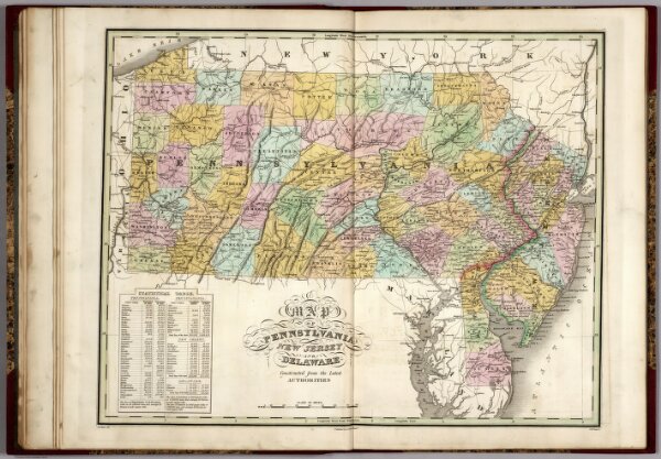
Pennsylvania, New Jersey, and Delaware.
0279.010
pilot
Map of Pennsylvania, New Jersey, and Delaware, Constructed from the Latest Authorities.
1827
Finley, Anthony
Anthony Finley
55 × 44 cm
1 : 1150000