David Rumsey
ArcGIS, QGIS or web apps can simply use this map with web map services. WMTS, TileJSON or XYZ tiles are provided for quick access to processed maps.
Sign in to get links.
Sign in to download GeoTIFF.
Overlay & compare
iiif viewer, iiif info json
Website
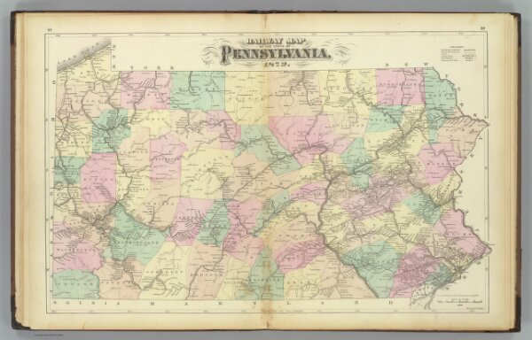
Penn. railway map.
1155.005
pilot4
Railway map of the state of Pennsylvania, 1872. Drawn by F.A. Gray. (Published by Stedman, Brown & Lyon, Philadelphia)
1872
Gray, Frank Arnold
Stedman, Brown & Lyon
63 × 40 cm
1 : 792000