David Rumsey
ArcGIS, QGIS or web apps can simply use this map with web map services. WMTS, TileJSON or XYZ tiles are provided for quick access to processed maps.
Sign in to get links.
Sign in to download GeoTIFF.
Overlay & compare
iiif viewer, iiif info json
Website
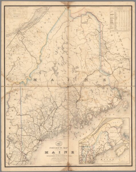
Post Route Map of the State of Maine.
10434.002
pilot5
Post Route Map of the State of Maine and Adjacent Parts of New Hampshire and Dominion of Canada.
1879
United States. Post Office Department
United States Post Office Department
77 × 97 cm
1 : 380160