David Rumsey
ArcGIS, QGIS or web apps can simply use this map with web map services. WMTS, TileJSON or XYZ tiles are provided for quick access to processed maps.
Sign in to get links.
Sign in to download GeoTIFF.
Overlay & compare
iiif viewer, iiif info json
Website
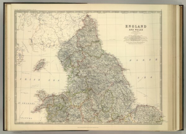
England and Wales (northern sheet).
0377.006
pilot2
England and Wales (northern sheet). By Keith Johnston, F.R.S.E. Keith Johnston's General Atlas. Engraved, Printed, and Published by W. & A.K. Johnston, Edinburgh & London.
1879
Johnston, Alexander Keith
W.& A.K. Johnston
60 × 48 cm
1 : 887000