David Rumsey
ArcGIS, QGIS or web apps can simply use this map with web map services. WMTS, TileJSON or XYZ tiles are provided for quick access to processed maps.
Sign in to get links.
Sign in to download GeoTIFF.
Overlay & compare
iiif viewer, iiif info json
Website
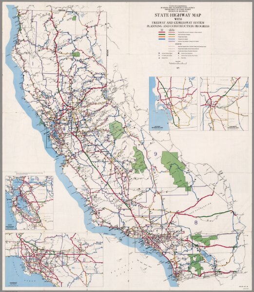
California Freeway and Expressway System, January 1971.
6365.000
pilot2
California Freeway and Expressway System, Planning and Construction Progress, January 1971.
1971
California Department of Transportation, Division of Highways
106 × 148 cm
1 : 1005840