David Rumsey
ArcGIS, QGIS or web apps can simply use this map with web map services. WMTS, TileJSON or XYZ tiles are provided for quick access to processed maps.
Sign in to get links.
Sign in to download GeoTIFF.
Overlay & compare
iiif viewer, iiif info json
Website
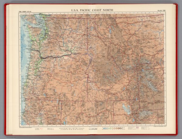
U.S.A. Pacific Coast North, Plate 110, Vol. V
1552.282
pilot2
U.S.A. Pacific Coast North. The Geographical Institute Edinburgh. Edited by John Bartholomew, M.C. LL. D. Copyright - John Bartholomew & Son, LTD.
1957
1959
Bartholomew, John
John Bartholomew & Son LTD.
56 × 46 cm
1 : 2500000