David Rumsey
ArcGIS, QGIS or web apps can simply use this map with web map services. WMTS, TileJSON or XYZ tiles are provided for quick access to processed maps.
Sign in to get links.
Sign in to download GeoTIFF.
Overlay & compare
iiif viewer, iiif info json
Website
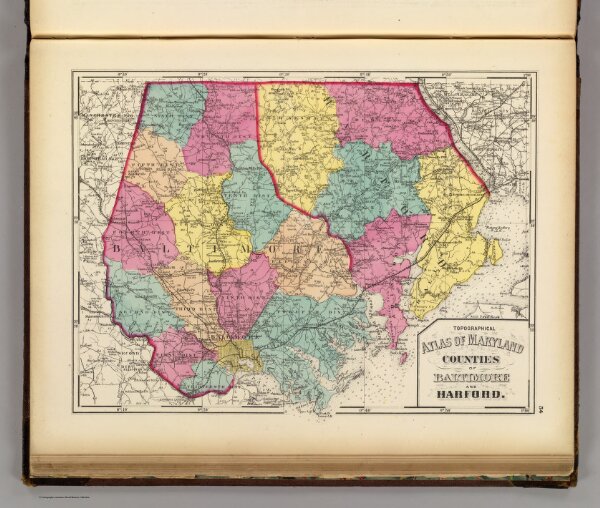
Topographical atlas of Maryland: counties of Baltimore and Harford.
2239.010
pilot3
Topographical atlas of Maryland: counties of Baltimore and Harford. (Published by Stedman, Brown & Lyon, Baltimore. 1873)
1873
Walling, H. F.
Stedman, Brown & Lyon
38 × 29 cm
1 : 221760