David Rumsey
ArcGIS, QGIS or web apps can simply use this map with web map services. WMTS, TileJSON or XYZ tiles are provided for quick access to processed maps.
Sign in to get links.
Sign in to download GeoTIFF.
Overlay & compare
iiif viewer, iiif info json
Website
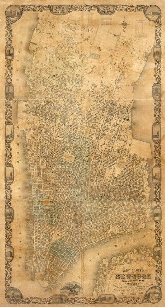
City of New York Extending Northward to Fiftieth St.
2620.000
pilot3
Map of the City of New York Extending Northward to Fiftieth St. Surveyed and drawn by John F. Harrison C.E. Published by M. Dripps...1852.
1852
Harrison, John F.
M. Dripps
117 × 223 cm
1 : 3600