David Rumsey
ArcGIS, QGIS or web apps can simply use this map with web map services. WMTS, TileJSON or XYZ tiles are provided for quick access to processed maps.
Sign in to get links.
Sign in to download GeoTIFF.
Overlay & compare
iiif viewer, iiif info json
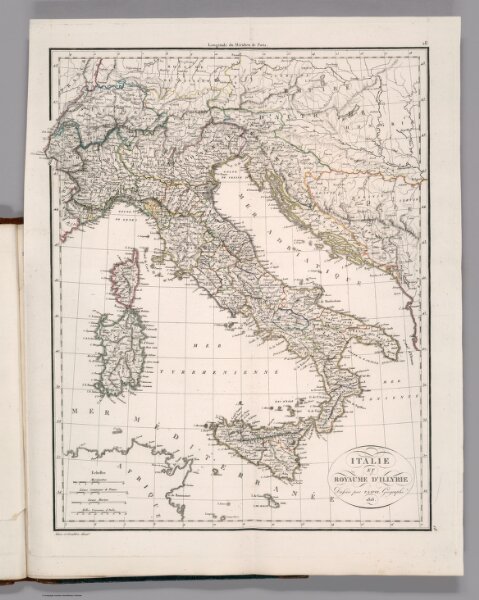
Italie et Royaume D'Illyrie
4785.024
missinglocation
Italie et Royaume D'Illyrie. Dresses par P. Lapie Geographe. 1816. Adam et Giraldon dirext. (to accompany) Atlas Classique Et Universel De Geographie Ancienne Et Moderne ... Decembre 1816.
1816
Lapie, M. (Pierre), 1779-1850
Magimel, Anselin, et Pochard
36 × 46 cm
1 : 4000000