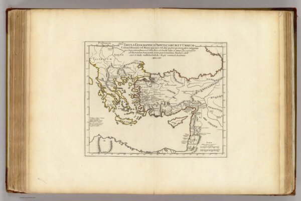
Colonia Romana, Tabula Geographica Provinciarum et Urbium.
Identifier
4764.078
Collection
pilot4
Description
Tabula Geographica Provinciarum et Urbium, Colonia Romana vel Municipii jure vel alia quavis praerogativa insignium quae Imperatorum Romanoru. a'Traj. Decio ad Claudiu. vultus in nummis suis expresserut. ad illustrandam Numismatum seriem quam D. Anselmus Banduri edidit, cura et studio Guillelmi Delisle e Regia Scientiaru. Academia. MDCCXV.