David Rumsey
ArcGIS, QGIS or web apps can simply use this map with web map services. WMTS, TileJSON or XYZ tiles are provided for quick access to processed maps.
Sign in to get links.
Sign in to download GeoTIFF.
Overlay & compare
iiif viewer, iiif info json
Website
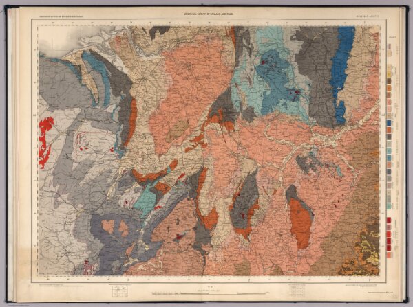
Sheet 8. Ordnance Survey of England and Wales.
8742.009
missinglocation
Ordnance Survey of England and Wales. Sheet 8.
1891
1896
Geikie, Archibald
Ordnance Survey Office
83 × 65 cm
1 : 253440