David Rumsey
ArcGIS, QGIS or web apps can simply use this map with web map services. WMTS, TileJSON or XYZ tiles are provided for quick access to processed maps.
Sign in to get links.
Sign in to download GeoTIFF.
Overlay & compare
iiif viewer, iiif info json
Website
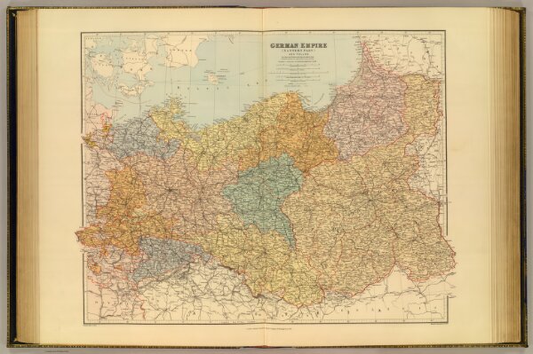
German Empire E, Poland.
5075.041
pilot4
German Empire (eastern part) and Poland. London atlas series. Stanford's Geographical Estabt. London : Edward Stanford, 26 & 27 Cockspur St., Charing Cross, S.W. (1901)
1901
Stanford, Edward
Edward Stanford
63 × 50 cm
1 : 1584000