David Rumsey
ArcGIS, QGIS or web apps can simply use this map with web map services. WMTS, TileJSON or XYZ tiles are provided for quick access to processed maps.
Sign in to get links.
Sign in to download GeoTIFF.
Overlay & compare
iiif viewer, iiif info json
Website
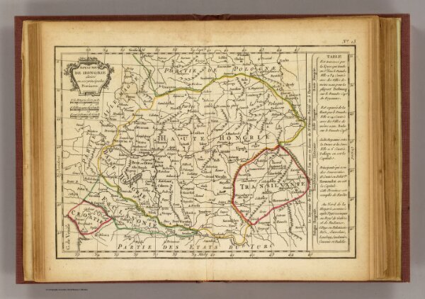
Hongrie.
0421.011
pilot2
Royaume de Hongrie divise en ses principales provinces. (A Paris, chez Delamarche, Geogr., ca. 1800)
1800
Delamarche, Charles Francois; Lattre, Jean
C.F. Delamarche
25 × 19 cm
1 : 4500000