David Rumsey
ArcGIS, QGIS or web apps can simply use this map with web map services. WMTS, TileJSON or XYZ tiles are provided for quick access to processed maps.
Sign in to get links.
Sign in to download GeoTIFF.
Overlay & compare
iiif viewer, iiif info json
Website
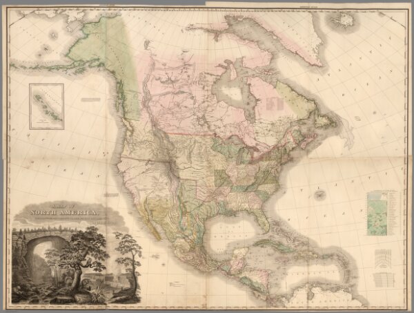
Composite: North America.
2589.026
pilot4
(Composite of) A Map of North America, Constructed According To The Latest Information: by H.S. Tanner. Engraved & Published by H.S. Tanner. Philadelphia. 1822. American Atlas.
1823
Tanner, Henry S.
Henry Tanner
146 × 110 cm
1 : 7500000