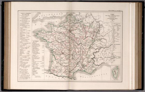
55. Carte pour Servir a l'histoire de France depuis 1610 jusqu'en 1789 presentant la division en 38 Governements militaires.
ArcGIS, QGIS or web apps can simply
use this map with web map services.
WMTS, TileJSON or XYZ tiles
are provided for quick access to processed maps.
Sign in to get links.