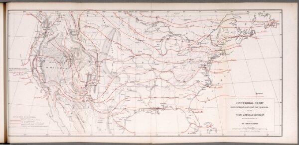
Isothermal chart: Mean distribution of heat for the Spring on the North American Continent
ArcGIS, QGIS or web apps can simply
use this map with web map services.
WMTS, TileJSON or XYZ tiles
are provided for quick access to processed maps.
Sign in to get links.