David Rumsey
ArcGIS, QGIS or web apps can simply use this map with web map services. WMTS, TileJSON or XYZ tiles are provided for quick access to processed maps.
Sign in to get links.
Sign in to download GeoTIFF.
Overlay & compare
iiif viewer, iiif info json
Website
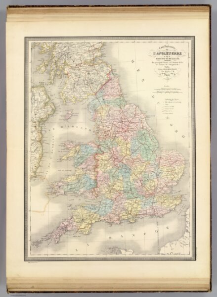
L'Angleterre, Galles.
2486.019
pilot4
Carte particuliere de l'Angleterre et de la Principaute de Galles. Indiquant les principales routes, les chemins de fer, les canaux de navigation &a. Publiee par J. Andriveau-Goujon, Rue du Bac, no. 21, Paris, 1849. Imp. Lemercier, a Paris.
1849
1850
Andriveau-Goujon, J.
J. Andriveau-Goujon
45 × 58 cm
1 : 1460000