David Rumsey
ArcGIS, QGIS or web apps can simply use this map with web map services. WMTS, TileJSON or XYZ tiles are provided for quick access to processed maps.
Sign in to get links.
Sign in to download GeoTIFF.
Overlay & compare
iiif viewer, iiif info json
Website
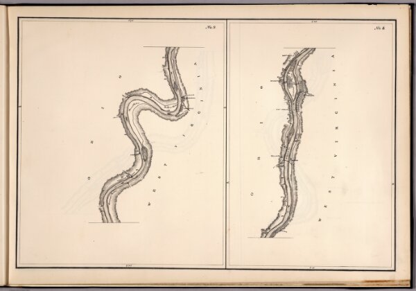
No.8-9: Map Of The Ohio River
3070.010
pilot
No. 8-9: Map Of The Ohio River, Reduced from the following surveys ... 1837-8, Lieut. Sanders ... 1844, C.A. Fuller ... 1867-8, W.M. Roberts ... Made under the direction of Major W.E. Merrill, Corps of Engineers, By C. Moser.
1881
Moser, C.
Corps of Engineers
65 × 43 cm
1 : 47639